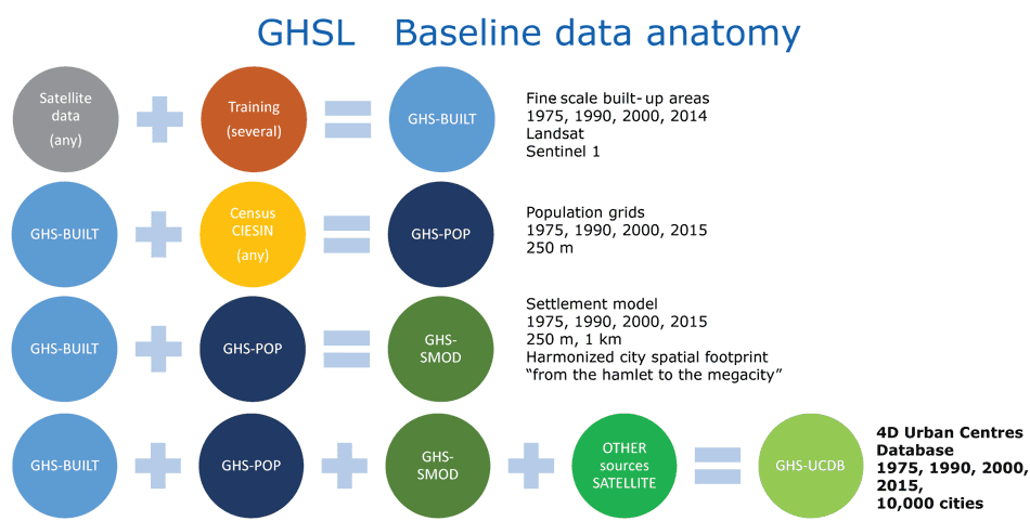
The new Urban Centres Data Base (GHS-UCDB) builds on the improved GHS-BU and GHS-POP grids. The Urban Centres were spatially delimited by applying the “degree of urbanisation” model.
The GHS-UCDB was generated by spatial integration of the urban centres with the GHSL data and with other sources related to five main thematic areas: geography, socio-economic, environment, Disaster Risk Reduction, and Sustainable Development Goals.
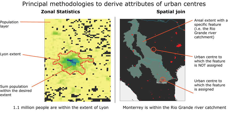
The figure below illustrates the principal methods used to derive the attributes to characterise urban centres through geospatial processing.

An additional list of attribute complements the one by thematic area. It includes mainly classification and reference attributes (such as name, latitude-longitude, etc.).