#EUSpace
UPDATE (8/05/2023): The new data is now available as part of the GHSL release R2023A. Please browse the updated version of the GHSL datasets list to get the new data.
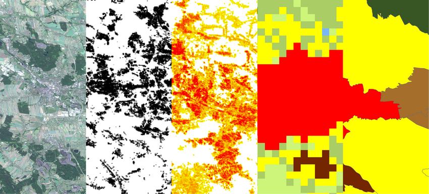
The Global Human Settlement Layer (GHSL) project produces global spatial information, evidence-based analytics, and knowledge describing the human presence on the planet.
The GHSL relies on the design and implementation of new spatial data mining technologies that allow automatic processing, data analytics and knowledge extraction from large amounts of heterogeneous data including global, fine-scale satellite image data streams, census data, and crowd sourced or volunteered geographic information sources.
The section below contains a list of the new datasets released with the links to the datasheets.
A summary of the information about the new GHSL data released is also available, with links to the datasheets and how to cite and download information.
The GHSL Data Package 2022 consists of multitemporal products, that offers an insight into the human presence in the past (epochs from 1975 through 2020, 5 years interval) and the future (2025 and 2030):
Feel free to Download the GHSL Data Package 2022 report (9.87 MB) containing the complete information about GHSL open data.
Although tests with independent reference data show that GHSL R2022A matches or outperforms other data sources for accuracy in epochs 2018 and 2020 and matches or outperforms also all the other single epochs (1975, 1990, 2000, and 2015) included in the previous release GHSL R2019, the accuracy of the time series and its change rate are lower, especially in the rural domain. According to the JRC internal tests, the anomaly is expected to introduce a positive bias in predicted change rates of built-up surfaces and built-up volumes after the year 2000. The positive bias is especially remarkable in the rural domain as set by the GHS-SMOD R2022A. Previous GHSL R2019 was affected by larger omission errors in rural areas compared to R2022A, therefore generating an underestimation of the change rates in the rural domain
Thus, the use of the GHSL Data Package 2022 (GHS P2022) is currently not recommended for supporting multi-temporal studies and indicators including built-up surfaces, built-up volumes, and population, especially if stratified by GHS-SMOD grid class. Applications relying on data for epochs 2018 and 2020 are not affected.
The products, based on the new multi-temporal model that has been developed, have been processed at global level and are available as part of the GHSL release R2023A. Please browse the updated version of the GHSL datasets list to get the new data.
We thank all GHSL users for your continued support and apologize for the inconvenience.