#EUSpace
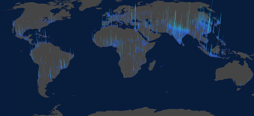
The Global Human Settlement Layer (GHSL) project produces global spatial information about the human presence on the planet over time. This in the form of built-up maps, population density maps and settlement maps. This information is generated with evidence-based analytics and knowledge using new spatial data mining technologies.
The GHSL processing framework uses heterogeneous data including global archives of fine-scale satellite imagery, census data, and volunteered geographic information. The data is processed fully automatically and generates analytics and knowledge reporting objectively and systematically about the presence of population and built-up infrastructures.

The data produced by the GHSL are the core datasets used in the GEO Human Planet initiative, used to produce the Atlases of the Human Planet. The GHSL concept was initialised by the JRC in 2010-2011.
GHSL activities are currently supported by the JRC scientific working plans in the
frame of the JRC Directorate E “Space, Security & Migration”.
The JRC, together with the Directorate-General for Regional and Urban Policy (DG REGIO) and Directorate-General for Defence Industry and Space (DG DEFIS) are working towards a regular and operational monitoring of global built-up and population based on the processing of Sentinel Earth Observation data produced by European Copernicus space program.
At the JRC, the GHSL framework of data and tools supports the Knowledge Centres for Disaster
Risk Management, Sustainable Development, Territorial Modelling, and Security & Migration.
Moreover, the GHSL is one key test case contributing to the JRC Earth Observation and Social
Sensing Big Data Pilot project in the frame of the JRC Text & Data Mining Competence Centre.
The GHSL manufacture is the result of a collaborative process between numerous individuals and
institutions.
The GHSL profited from the close collaboration and the funding support of the Economic Analysis
Unit of DG REGIO, European Commission. In particular Lewis Dijkstra and Hugo Poelman who
contributed actively to this version of the GHSL.
The generation of the GHSL population data would not have been possible without the access to
the data hosted by the Center for International Earth Science Information Network (CIESIN) and
the discussions with Robert Chen and Kytt MacManus.
In 2014, Joint Research Centre (JRC), organised the 1st Global Human Settlement Workshop, which
led to the Manifesto for a Global Human Settlement Partnership. The participants of this
workshop formed the core group of what is now the GEO Human Planet Initiative, which includes
now more than 180 members from 100 different institutions all around the globe. The pre-releases
data of the GHSL was shared among the GEO international partnership since 2014. Discussions with
the members helped improving the quality of the GHSL significantly.